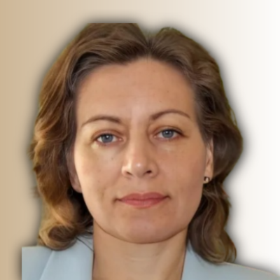
Chef geologist
Kepler group
Specialist of remote sensing and GIS in geology.
Graduated from the Polytechnic Institute in Almaty(engineer -geologer)-1986.
Defence of the PhD thesis, Institute of Geosciences, Jena, Germany-2013 (Dr.rer.nat).
Worked in Geology for more than 35 years. Education: remote sensing- Almaty (Kazakhstan), Boulder(America), Gilching, Hannofer, Freiberg, Jena(Germany); GIS-Jena, Freiberg, Munich(Germany); structural geology, geomorphology, sedimentology, neotectonics, ore geology-Munich, Freiberg, Hannover, Jena, Almaty. Participation in numerous international projects and conferences. Participation in IAEA missions. Publications.
Traditional research methods and digital solutions in geological exploration Using effective algorithms to increase profitability per unit of investment in the first stages of geological exploration
The report shows the possibilities of using remote sensing and GIS metothods in ore geology. Mineralogical indeces well reflect the metasomatic zonality of hydrotehermal chenges of rocks in the ore zone. Mathematical algorithms for processing satellitedate make it possible to contrast lithological differences of rocks. Scaling of all data in GIS and their ranking and visualisation make it possible comprehensively analyze date.
Methods of analysis of detailed satellite images (multi- and hyperspectral, lineament).
